Work to begin on £29m flood defence scheme

 South West Flood & Coastal
Work is set to begin on a £29.4m scheme to protect hundreds of homes in a coastal town from flooding.
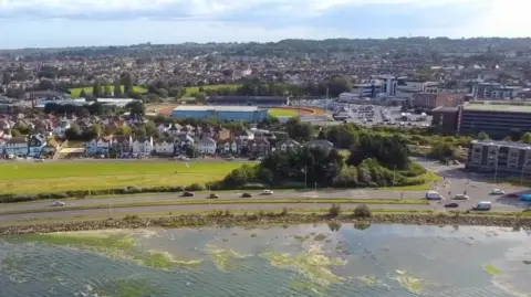
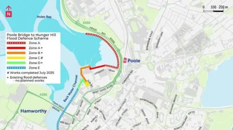
The project will defend 570 properties in Poole between Poole Bridge and Hunger Hill - the last unprotected stretch of waterfront in the town centre.
Andy Hadley, cabinet member for environment at Bournemouth, Christchurch and Poole (BCP) Council, described the work as a "major milestone to improve flood resilience for the people who call Poole home now, and in the future".
The project, which is designed to adapt to rising sea levels, is set to begin on Monday 1 June, with the final stages of construction to take place in autumn 2027.
 BCP Council
The council predicts the number of properties protected by the scheme will rise to more than 2,000 over the next century.
The defences will include artificial sea walls that can be raised at intervals to keep pace with climate change and rising sea levels.
The area covered comprises part of Holes Bay, an environment that is already protected due to migratory birds and breeding marine life.
The scheme was approved in July 2025 and due to take place in October but was postponed while planning conditions and a marine licence were finalised.
Residents have been told to expect some disruption while the work takes place.
