This film explains plate tectonics: the movement of Earth's plates and their boundaries.
Video
Earth is divided into four layers: the inner core, the outer core, the mantle and the crust.
The solid inner core is made of iron and nickel and is as hot as the surface of the sun.
The outer core is also made of iron and nickel but in liquid form. It's also extremely hot.
The mantle is made up of magma, or molten rock.
And the crust is this layer of solid rock that we live on. It's very thin. If Earth was the size of an egg, the Earth's crust would be as thin as the eggshell.
And like an eggshell, the crust has cracked and split into many different pieces called tectonic plates.
These plates can be oceanic, meaning they're found mainly under the ocean, or continental, and mainly found under land.
And they are moved around, constantly fuelled by energy from the very hot mantle below.
Where the movement of currents and the mantle converge, like this, plates are pushed together. This is called a destructive or convergent plate boundary. When the plates collide, the denser plate, usually the oceanic one, is forced underneath the continental plate. The force of this collision is so great that mountains are created.
Earthquakes are very common at this type of boundary as the mountains are pushed upwards by the force of the plates' movement. Tall, steep volcanoes can also form as a result of the denser rock melting and the magma being forced up to the surface.
South America has a great example of a convergent plate boundary. As the Nazca Plate collides with the South American Plate, it's forced underneath it creating the ever-changing Andes Mountains.
Where the movements of the currents in the mantle separate, like this, plates move apart. This is called a constructive or divergent plate boundary. These are usually found under oceans.
As the plate moves apart, magma rises to the surface and cools, forming shallow-sided volcanoes.
The Mid-Atlantic Ridge on the floor of the Atlantic Ocean, where the Eurasian and North American Plates are moving apart, is the perfect example of this.
Plates can also move past each other, like at the San Andreas Fault in the USA, which forms the tectonic boundary between the Pacific Plate and the North American Plate. These are known as Transform Faults.
As the plates scrape past each other, pressure builds up and is released suddenly, causing an earthquake.
The plates of the Earth's crust are constantly moving at about the same speed as your fingernails grow, so the map of the world will continue to change, but just very, very, very slowly.
Video summary
Download/print a transcript of the video.
A short animated film for secondary schools detailing tectonic plates, their movement and boundaries, and what this means for Earth.
It explores the location of tectonic plates across the globe and explores three different types of fault line and what can happen at each.
It investigates the features of constructive, destructive and transformational plate boundaries and provides a starting point for students to find out more about each one, relating this back to location knowledge and understanding.
Teacher notes
Download/print the Teacher Notes for this episode (pdf).
Before watching the video
Ask students what they already know about plate tectonics, for example they may previously have learnt about the structure of the Earth in Science.
Students could be tasked with creating a list of vocabulary that they associate with plate tectonics.
Introduce key terms such as:
Tectonic plates: Slabs of crust.
Continental crust: The relatively thick, less dense and older parts of the Earth’s crust that forms the continents.
Oceanic crust: The thinner, denser and younger crust that forms the seafloor.
During the video
You may wish to stop at relevant points during this short film to pose questions and check understanding or wait until the end. Useful questions might include:
- What are the four layers of the Earth?
- Describe each layer of the Earth.
- What are the two types of crust?
- What happens at a destructive plate boundary?
- What happens at a constructive plate boundary?
- What is the Mid-Atlantic Ridge?
- What happens at a transform plate boundary?
- How slowly do the plates move?
After watching
Ask students to draw and label the structure of the Earth, identifying each layer and what is composed of. Look at a map of where the tectonic plates are and overlay this with maps of where earthquakes and volcanic eruptions occur – what do students notice?
Students could also draw the different plate boundaries and identify the different tectonic hazards that occur at each type of plate boundary. Students could also find examples of where these plate boundaries are located. Some were mentioned in the clip, but using a map of plate boundaries will enable students to find further examples.
Where next?
There are many theories on how tectonic plates move, some of which are highly contested.
Slab pull and ridge push is a widely accepted theory on how tectonic plates move. Students should research this, drawing diagrams of how this process works and how it moves the tectonic plates.
Students and teachers over the age of 16 can create a free Financial Times account. For a Financial Times article about how Stonehenge rock was shifted from 2024, click here.
Curriculum notes
This short film is relevant for teaching geography at KS3 in England, Wales and Northern Ireland and 3rd and 4th Level in Scotland.
This short film helps meet the requirement of the Key Stage 3 national curriculum in geography requirement to develop and understanding of:
- physical geography relating to: geological timescales and plate tectonics; rocks, weathering and soils; weather and climate, including the change in climate from the Ice Age to the present; and glaciation, hydrology and coasts.
More videos from this series
Primary and secondary industries. video
A short film for secondary schools explaining primary and secondary industries.
Tertiary and quaternary industries. video
A short film for secondary schools explaining tertiary and quaternary industries, what they are and how they fit into global economy.

Erosion. video
A short film for secondary schools explaining the various types of erosion and illustrating the dramatic effect the process has had on landscapes across the world.
Responses to flooding. video
A short film for secondary schools explaining the common responses to flooding and the methods employed to prevent and reduce flooding. Footage shows examples of hard and soft engineering techniques.
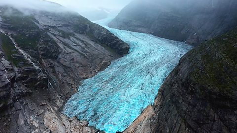
Glaciation. video
A short film for secondary schools explaining glaciation: what it is, how it shapes the land and the effects of climate change on the world’s glaciers.
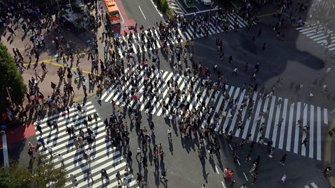
Rapid urbanisation. video
Investigates how rapid urbanisation impacts on both urban and rural areas and the challenges this presents.
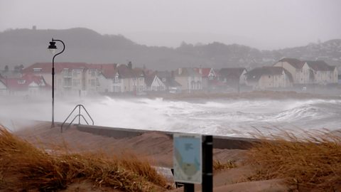
Coastal flooding. video
Illustrated with case studies, this short film for secondary schools explains the causes and results of coastal flooding, focussing primarily on instances in the UK.
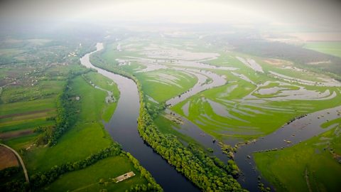
River flooding. video
A short film for secondary schools offering explanation of the causes and effects of river flooding. Footage shows examples of case studies of river flooding in the UK and across the world.
Climate. video
A short animated film for secondary schools describing the factors that determine the climate of a country and the main climate zones of the world.