Bank holiday weekend to see more thunderstorms and rain

- Published
Downpours and thunderstorms are set to continue for many across the bank holiday weekend with some unseasonably strong winds expected.
A yellow warning for thunderstorms on Friday has been issued covering most of Wales, the Midlands and parts of the North West and North East on England with warnings that driving conditions will be affected by spray and standing water.
Heavy rain will continue to bring the risk of flash flooding with a number of flood warning and alerts already in place.
The Midlands has been one of the worst affected areas so far this week with in areas including Birmingham and Staffordshire seeing "significant flooding".
Yellow thunderstorm warning for Friday

A Met Office yellow warning for thunderstorms has been issued until 21:00 on Friday
Friday started with two Environment Agency flood warnings, external and over 20 flood alerts in parts of the Midlands, with the risk of more heavy rain bringing the risk of more flash flooding.
As part of the yellow Met Office thunderstorm warning, heavy showers are expected with the focus being over northern England and much of Wales during the early afternoon. These will extend over central and eastern England through the rest of the day.
After the recent warm and humid weather, fresher conditions are expected to develop through Friday.
Expect around 20–23C (68 -73F) in England and Wales, and 16–20C (61-68F) in Scotland and Northern Ireland.
These temperatures are around average for late August.
Fresh storms strike as flooding clear-up continues
- Published27 August
Why are there no thunderstorms showing on my app?
- Published25 August
How not to get struck by lightning
- Published25 June
Continuing risk of thunderstorms with more rain for Saturday, Sunday and Monday
Saturday will remain unsettled, with sunny spells mixed with heavy showers and possible thunderstorms, particularly across England and Wales.
Fresh westerly winds will make it feel blustery, with highs of 18-22C (64-72F) in England and Wales and 16-19C (61-66F) further north.

Rain is in the forecast for every day over the bank holiday weekend
Sunday and Bank Holiday Monday - for England and Wales - will stay changeable, with further heavy showers, longer spells of rain and a risk of thunderstorms once again.
Monday is likely to be wettest across Scotland, while England and Wales can expect a mix of sunshine and showers before further rain moves in from the west.
Stronger winds are also possible across southern parts of the UK, with temperatures generally ranging from 16C to 23C (61-73F).
A weekend of outdoor events - and some challenging weather

Creamfields festival is held each year in Daresbury, Cheshire
The unsettled forecast comes as large numbers of people head to outdoor events across the UK.
Reading and Leeds Festivals and Creamfields in Cheshire are all taking place through the weekend, while Manchester Pride runs from Friday through to Bank Holiday Monday.
In London, Notting Hill Carnival begins on Saturday and continues through Monday, attracting large crowds to west London.
The weather looks likely to be decidedly mixed for festivalgoers and event organisers, with periods of sunshine but also a risk of heavy showers and thunderstorms.
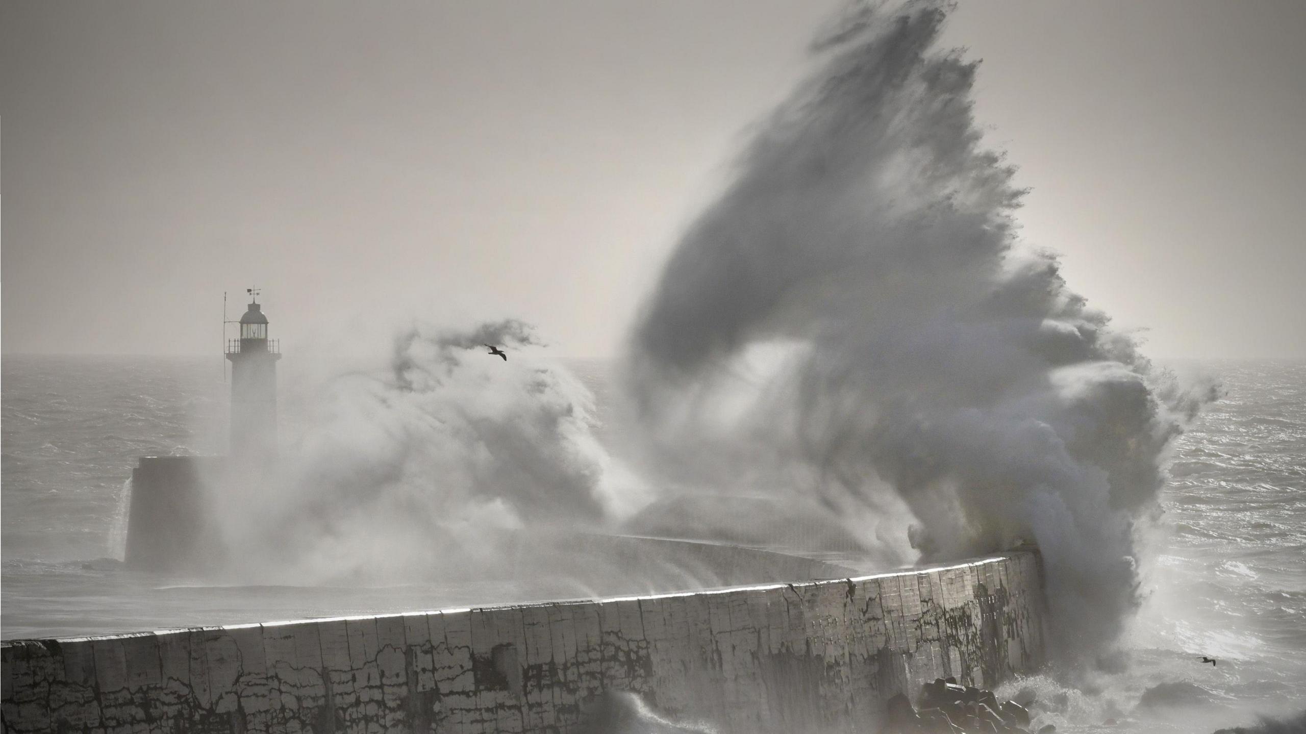
Strong winds could also cause additional difficulties, particularly for those staying under canvas, with exposed areas and locations across the south and south-west of the UK potentially seeing the strongest winds later in the weekend.
The exact timing and location of the heaviest showers and thunderstorms could still change, so those with outdoor plans should keep up to date with the latest forecast as the weekend approaches.
Whatever your plans for the weekend, you can keep up to date with the forecast by checking the BBC Weather website and app.
- Published3 September