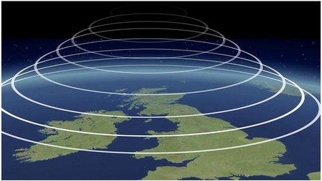
Monthly Outlook

- Published
Temperatures are most likely to stay above average through the outlook period, with some hot days probable, especially in central, southern and eastern regions. There will be a lot of dry weather, with occasional rain mostly affecting northern areas.
Later, it may become less warm and possibly wetter.
Friday 3 to Sunday 12 July
High pressure will build with temperatures rising
During the weekend Northern Ireland and Scotland will have periods of rain, and western Scotland will be wettest. A little rain may reach the north of England and Wales at times, but high pressure building from the south-west should ensure mostly dry conditions farther south, with some warm sunshine and temperatures reaching the mid to high 20s Celsius. In northern areas temperatures will be closer to seasonal values. Monday and Tuesday could have further patchy rain across the northern half of the UK, but the south should be dry, with temperatures creeping up another couple of degrees.
By midweek high pressure is forecast to extend farther northwards, leading to mostly dry conditions across the UK, with temperatures climbing even higher. That will lead to parts of the south-eastern quarter of the UK reaching the low thirties, peaking on Thursday and Friday. However, an Atlantic front may be able to bring some rain back to Scotland and Northern Ireland by Friday.
The end of the week is uncertain but high pressure may weaken for a while, with changeable conditions possibly developing more widely, and temperatures coming down a notch. Showers or thunderstorms will be very hit and miss, though, so many locations could stay dry. High pressure will remain close by.
Monday 13 to Sunday 19 July
Warmer than average. Possibly hot in the south
The outlook through and beyond mid-July has a lot of uncertainty, with longer range models diverging when it comes to pressure patterns, which will have an impact on expected temperatures. However, the most likely scenario has high pressure as the predominant feature, although its position is rather uncertain. We may see high pressure anomalies shifting to more northern latitudes for a while through mid-July, but still over the UK, with similar impacts on temperatures.
Most of the UK should be warmer than normal, with the strongest heat likely to be across parts of England and Wales. Temperatures could rise above 30C again places, with a risk of climbing well above that mark. There may be chances of localised showers or thunderstorms, but rainfall amounts are most likely to be below average overall.
Cooler conditions are possible if an Atlantic high pressure ridge also stays in place or redevelops. Even then, temperatures would still most likely be near to above average.
Monday 20 July to Sunday 2 August
Potentially becoming less warm
From later July into the start of August, the pressure pattern signals are weak with a range of differing solutions, and forecast confidence drops further. High pressure may weaken at times, so although this period could start very warm or hot, temperatures should moderate overall as time goes by. Nevertheless, temperatures are still much more likely to be above average than below, although closer to seasonal the farther north you are.
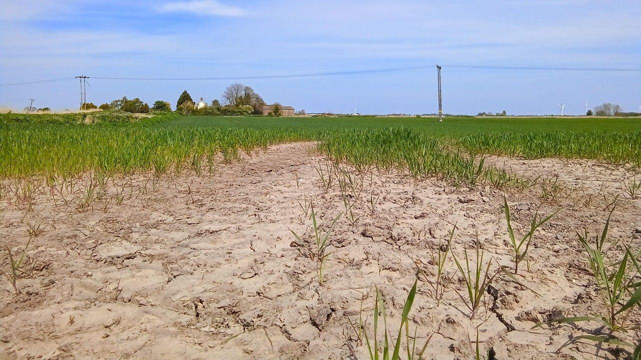
Part of the reason for that is a suggestion of some occasionally wetter weather affecting at least northern areas of the UK, and maybe farther south as well. It is unlikely to be persistently dry, with chances of local showers or thunderstorms, but rainfall amounts should remain below average.
Again it could be somewhat cooler and more changeable if a high pressure ridge in the east Atlantic were to extend northwards.
Further ahead
In Tuesday's outlook we will check back again on the chances of periods of hot weather, and if it might become cooler later.
- Published1 May
- Published22 June

- Published7 April 2022