Summer 2026 on course to be UK's hottest on record, says Met Office

- Published
This summer is on course to be the UK's hottest since records began, according to the Met Office.
Only average conditions are needed for the remainder of August to surpass the record set just last year.
Provisional Met Office statistics show that the UK's mean temperature for meteorological summer so far (1 June to 10 August) currently stands at 16.48C (61.66F), which is 1.88C above the 1991-2020 average.
In summer 2025, the mean temperature across the country - which includes overnight lows as well as daytime highs - was 16.10C (60.98F).
It is in line with evidence that summers are getting hotter and are likely to become drier because of climate change.
A summer of heatwaves
The summer of 2026 has already been extraordinary.
A late-spring heatwave that set a new May temperature record was followed by another heatwave in June, and a third in July which lasted for two weeks in places.
Further heatspikes have followed, with many places reaching their heatwave thresholds multiple times throughout the summer.
We have seen 37 consecutive heatwave days somewhere in the UK this year.
The highest temperature of the summer so far was 38C recorded at Lingwood in Norfolk on 26 June.
It is possible that this could be equalled or even exceeded later this week, with the Met Office issuing an amber extreme heat warning for some parts of England on Thursday.
The last time we saw temperatures above 36C in August was 2020 when 36.4C was recorded at Heathrow and Kew Gardens.

The record-breaking heat continues this week with a rare amber extreme heat weather warning issued
Records smashed
Long-standing heat records have been toppling throughout the summer.
This year is the first on record when 35C or above has been reached in three separate calendar months - May, June and July. With 38C predicted later in the week, a fourth calendar month will be added to that total.
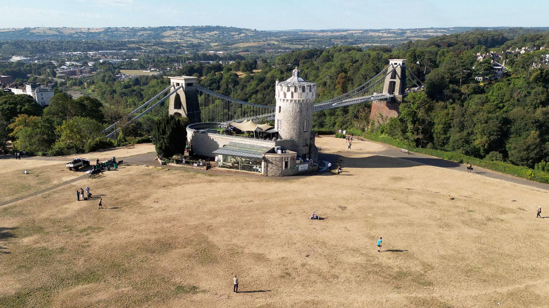
It was the driest July in both England and Wales since records began in 1836. Southern England had its driest calendar month on record.
By 15 July, the UK had already recorded more days above 30C than in the whole of 1976 - a year that is remembered by many for its iconic and long-lasting heatwave.

Dry season
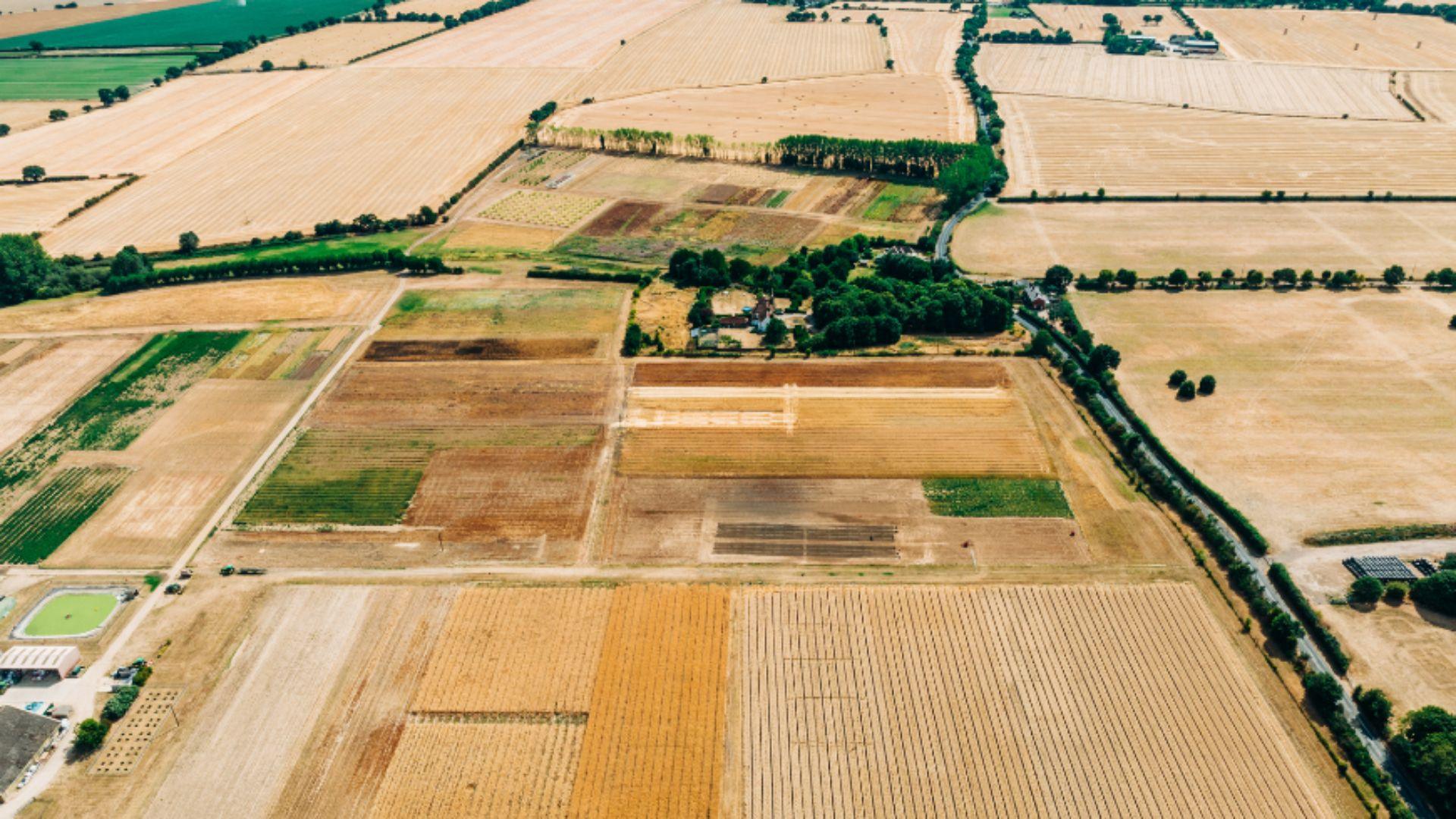
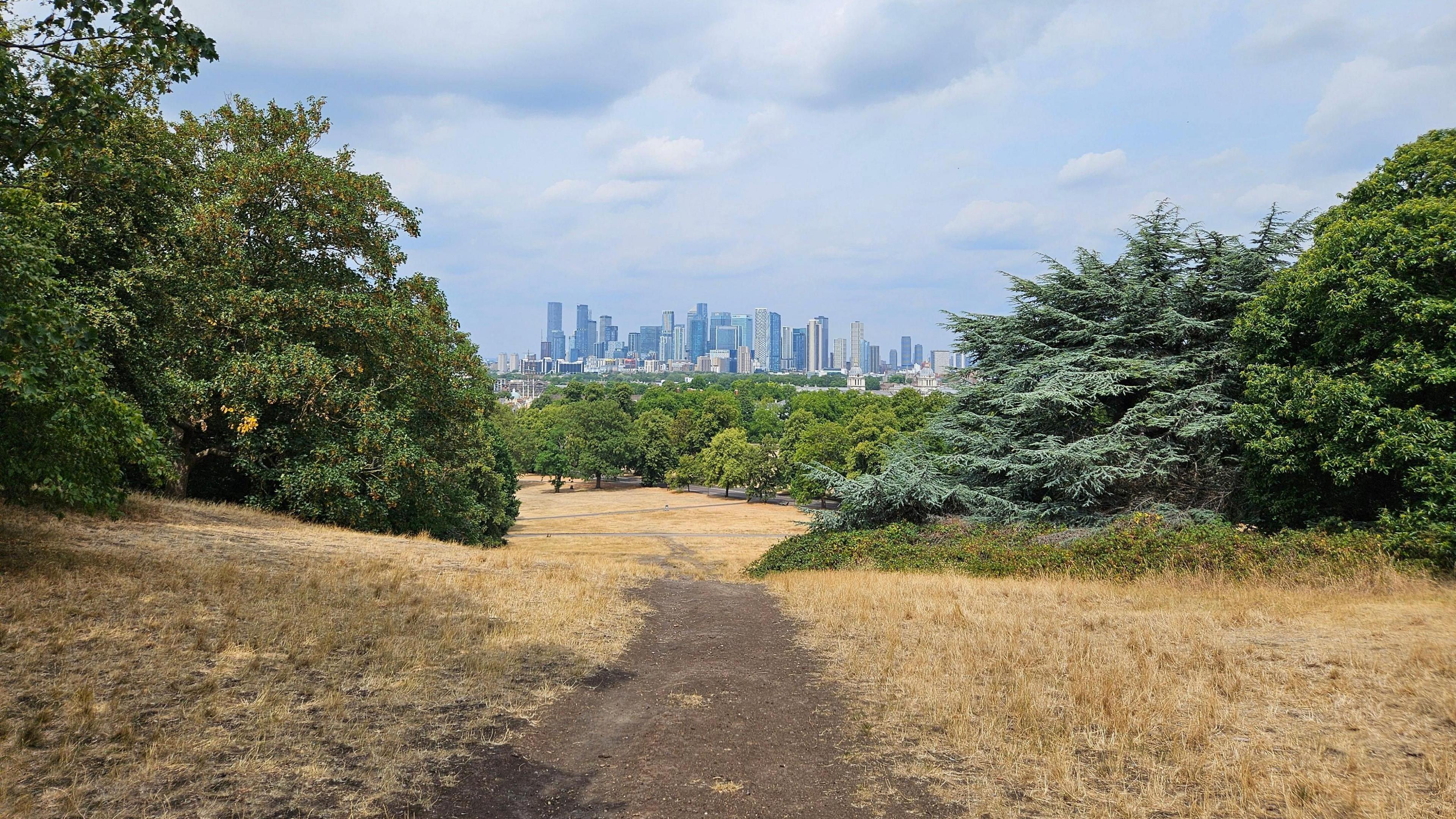
The remarkably warm and sunny summer has led to drought being declared in more than two-thirds of England and all of Wales.
A total of 45 million people are now living in a drought area in England, with more than 27 million facing water use restrictions.
There is no rain in the forecast through most of this week across England and Wales.
Forecasts for Sunday suggest there are some signs of rain coming into the UK from the Atlantic.
Low pressure bringing rain-bearing weather fronts will move in across Wales and southern England and could bring a spell of rain for some.
While this does not currently look to be particularly heavy or persistent, there could be the first bit of proper rain for many in nearly two months.

All of England is experiencing pressure on water resources, according to the National Drought Group
What is causing this summer heat?
The persistence of high-pressure weather systems over recent months has been unusual but this is the type of summer that scientists have long warned about due to climate change.
As average temperatures rise – mainly due to the burning of fossil fuels around the world – hot weather becomes much more likely and more intense.
This week's heatwave is forecast to see temperatures once again surpass 35C. This would mean that May, June, July and August will all have passed that threshold this year.
In the late 20th Century, it was very rare for temperatures in any year to reach 35C even once.
While temperatures will continue to vary from year to year, scientists warn that summers will keep getting hotter on average as carbon emissions continue to heat up the planet.
This means that future heatwaves will be able to reach even higher temperatures than the same weather systems of the past.
Additional reporting by Becky Dale

Get in touch
How are you coping with the hot weather? Have you had to make adjustments at home or work? Have the heatwaves impacted on an event you have planned?
- Published10 August
- Published7 September
- Published6 August