Weather warnings issued as gales set to batter parts of the UK

- Published
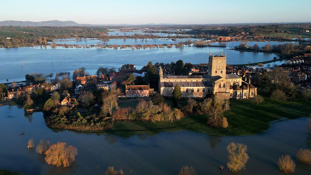
Some travel disruption is likely in the next few days as strengthening winds develop across the United Kingdom.
Met Office yellow warnings have been issued as wind gusts of up to 70mph (113km/h) are expected around Irish Sea coastal areas on Thursday.
The strong winds will be felt widely throughout the day for most of us.
Temperatures then drop into Friday with a return to some wintry weather, with snow on higher ground.

Gusts up to and in excess of 70mph (113km/h) have been recorded in northern and western Scotland on Wednesday morning as a deep area of low pressure passes to the north of the UK.
The strongest winds are easing, however, and a Met Office yellow warning here expired at midday.
Nevertheless there could still be some minor travel disruption with cancelled ferries, flight delays and bridge restrictions for high-sided vehicles continuing into the afternoon.
While Wednesday will be a dry and bright day for most of the UK, there will be some frequent showers across Scotland.
On Thursday new yellow severe weather warnings have been issued by the Met Office.
The first comes into force at 05:00 GMT across North Wales, northern England, southern and eastern areas of Scotland and will stay valid until 20:00.
Winds will particulary strengthen as an area of intense rain moves south-eastward.
Gusts 50-55mph (65-89km/h) will be seen widely, up to 60mph (97km/h), or even 70mph (113km/h) possible around coasts and hills.
Additionally there is another yellow warning issued for the whole of Northern Ireland valid from 06:00 to 12:00 GMT.
Here there is potential to see a short period when gusts may reach 60mph (97km/h) accompanied by heavy rain. Winds will then ease from the west during the late morning.
Some travel disruption is expected on Thursday due to the wind with bridge restrictions and some delays on the ferry and rail network possible.
Over the weekend another deep area of low pressure will pass to the south of Iceland with strong winds on its southern flank across the UK.

Northwesterly winds will drag in some colder air from the Arctic region on Friday
Wintry weather and snow later in week
On Friday a northwesterly wind will start to drag in some colder air from the Arctic region.
Temperatures will therefore fall to around three or four degrees below average and with strong winds, it will perhaps make it feel much colder.
Fast-moving hail showers are possible almost anywhere and brief flurries of wet snow are not out of the question, even in the south.
However, snow is unlikely to settle there.
Most of any accumulating snow is only really likely on the mountains and higher ground of Scotland, Northern Ireland and northern England. Some could also be possible in Wales and south-west England.
There is the possibility of further wintry showers in the forecast for Sunday.
More to explore
- Published27 February