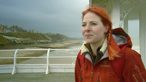
Liz Bonnin introduces a clip exploring plate movement on the San Andreas Fault off the coast of California.
Video
LIZ BONNIN: Hi, I’m Liz Bonnin and this next clip looks at plates and eggs. The plates are tectonic plates that make up the Earth’s crust and are constantly moving very, very slowly. Either rubbing against each other or pulling away in different directions.
And the eggs, well they’re part of an underwater experiment carried out by a team of ocean scientists in the Sea of Cortez, off the coast of California and Mexico, right around here.
NARRATOR: Although life is changing fast here, change itself is nothing new to our seas and oceans. In fact, their size and shape are constantly shifting.
Oceanographer, Tooni, has brought the team west to the Bay of Conception, because here you can actually see that process in action.
Beneath these calm waters is a giant fracture in the Earth’s crust. It’s part of the infamous San Andreas Fault Line, and it created this sea.
TOONI: The Sea of Cortez is quite young in geological terms. The peninsula split away from the main coastline of Mexico about 5 million years ago. So it basically started tearing apart, and the great thing I like so much, is the fact that it’s still moving. The whole of the Baja Peninsula is moving pretty much west, at a rate of about 5cm a year.
NARRATOR: This bay offers Tooni the chance to look for evidence that this sea is getting bigger. And Paul’s hoping she’ll cook a snack in the process.
PAUL: Luis, can we have six eggs - huevos - would that be okay? Thanks very much, thank you. Here you go Lucy, don’t forget these! Mind your head. Good luck, happy cooking.
LUCY: Thank you!
NARRATOR: Tooni and Lucy are swimming over part of the San Andreas Fault Line. As the Earth’s crust is being ripped apart beneath them, heat and gas, from the centre of the planet, are escaping through cracks called hydrothermal vents.
TOONI: Oh look! Look at all these bubbles coming through!
LUCY: Oh, God, yeah.
NARRATOR: It’s rare to see a hydrothermal vent in 5 metres of water. They’re normally found deep beneath the surface.
TOONI: Oh look, you can see the heat shimmer! This shimmering water, where the hot water’s coming out of the ground and mixing with the colder sea water around it. And that’s the evidence of all the hydrothermal activity, accompanied by all the bubbles. (Lifting a stone) Oh, that’s hot! That’s really hot. It’s actually burning my fingers.
NARRATOR: This hot water is over 90 degrees centigrade. It once trickled down through cracks in the Earth’s crust towards the furnace of the inner Earth. There it was super-heated, and forced out into the Sea of Cortez.
TOONI: Right, so we’ve brought our eggs with us, and we’re gonna bury them here. Because it’s really, really warm here. And then we’re gonna take them back on board for lunch. We’re cooking in the sea floor. It’s not right.
NARRATOR: Hot, mineral-rich water like this is only found in places where fault lines are tearing the Earth apart. It proves that directly below the team, the Earth’s crust is slowly moving, and this sea is steadily growing.
Seas and oceans are thought of as immovable features of our planet. This dive has shown they’re anything but.
LUCY: It’s quite amazing to think that this action of the tearing apart of these two land masses is continuing. It’s been going on now for over 5 million years.
NARRATOR: But although this process created the Sea of Cortez it will also destroy it. As Baja California continues to move north-west, it will eventually break away from the mainland to become a giant island. Then the Sea of Cortez will disappear forever, engulfed by the rest of the Pacific Ocean.
PAUL: Hey, hey. I know what you’re holding! You can’t fool me! Boiled eggs! Hard-boiled eggs, soft-boiled eggs? Do you know what I’m struggling with? It’s soldiers! I don’t know what Spanish is for soldiers! That looks perfect to me.
MAN #1: That does look good!
LUCY: That is … a hard-boiled egg.
PAUL: That’s a perfect, perfect hydrothermal vent boiled egg. Is it okay to eat it? Of course it’s alright to eat it.
LUCY: Yeah you just need something to eat it with. You could do it like an oyster couldn’t you?
PAUL: I guess I could, couldn’t I.
TOONI: What, in one? Urgh!
PAUL:(He eats the egg) Well that’s absolutely brilliant!
TOONI: Did you just down an egg in one?
PAUL: It’s absolutely brilliant. Well I thought it was worth a go.
TOONI: Gross, you’re disgusting.
PAUL: Sea of Cortez, eating eggs cooked by Lucy and Tooni on a hydrothermal vent.
MAN #1: Awesome.
PAUL: Oh, cheers, mate.
LIZ BONNIN: And if you’re wondering why only one of those intrepid explorers was brave enough to try the eggs, I guess the rest were just too chicken. Sorry.
Download/print a transcript of the video.
Liz Bonnin introduces a video clip exploring the movement of the San Andreas fault and its impact on the coastline of Southern California.
The clip explains how our oceans are constantly changing due to plate tectonics. The team uses eggs which they cook underwater using a hydrothermal vent - confirming that they are on a fault line where the Earth’s crust is slowly moving apart. They consider how this movement will eventually impact the coastline of Southern California.
Teacher notes
Download/print the Teacher Notes for this episode (pdf).
Before watching the video
Look at a map of the world divided into the different tectonic plates and look at areas where there are volcanoes and earthquakes. What do students notice about the location of tectonic activity.
Locate the Sea of Cortez on a map and plot this in relation to the tectonic plates, what do students notice about this location?
Ask students to predict why the scientists are using an egg in this clip.
Introduce key terms such as:
Tectonic plates: Slabs of crust.
Crust: The thin layer that is the outermost section of the earth. It varies from between 5 – 70 km in depth and is broken up into several large pieces of rock which are known as plates.
Hydrothermal vent: Cracks in the ocean floor that release geothermally heated, mineral rich water.
During the video
You may wish to stop at relevant points during this short film to pose questions and check understanding or wait until the end.
Useful questions might include:
- What is the name of the fracture they are talking about in the clip?
- How much does the Baja Peninsular move by each year?
- What gives evidence of the hydrothermal vent?
- How hot is the water?
- Why do the eggs cook?
- What does this tell us about plate tectonics?
After watching
Discuss with students whether they were correct in their predictions about the eggs.
Look at other locations where hydrothermal vents are located, such as Iceland, for example the Strytan Hydrothermal Field where scuba diving is common and it is an area of high scientific interest. Students could map these locations too. What do they notice about their location of these hydrothermal vents in comparison to the major tectonic plates of the world. Students could go one step further and locate nearby volcanoes to help them to further understand the relationship between hydrothermal vents and tectonic activity.
Where next?
Research further into hydrothermal vents and the types of careers that are available within this field of study.
For example, visit the Natural History Museum website to find out more about the types of marine life that can survive in this extreme environments under the sea.
Curriculum notes
This topic appears in Geography at KS3 (Plate Tectonics) and KS4 / GCSE (Plate Tectonics) in England, Wales and Northern Ireland and National 4/5 in Scotland.
More videos from this series
What is the water cycle? video
Iain Stewart describes the water cycle including evaporation, condensation and precipitation.
How does a river change as it travels downstream? video
An archive clip of Sir David Attenborough as he follows the course of the Amazon River as it travels downstream.
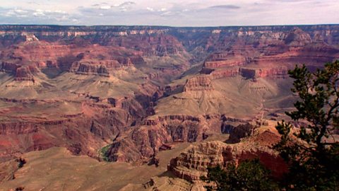
The erosion of the Grand Canyon. video
Liz Bonnin introduces the Grand Canyon - its ancient geology and what can be learned from the erosion of the rocks.
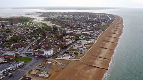
What coastal management techniques are being used on Hayling Island? video
Introduces the coastal management techniques used on Hayling Island in Hampshire to control drift and flooding.
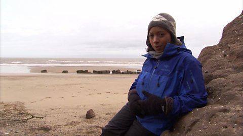
What is a ‘spit’ and how does it form through longshore drift? video
Katie Knapman explains how a spit forms through longshore drift and is a dynamic physical process, constantly changing the coastline.
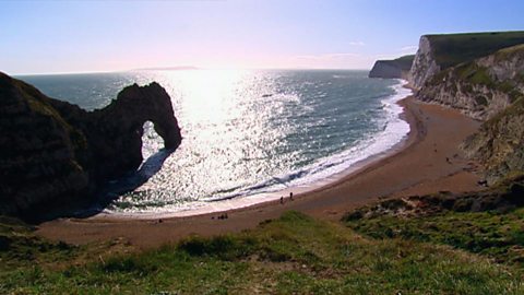
The geology of the Jurassic Coast. video
Exploring the Jurassic coastline and its geological significance with rocks spanning the Cretaceous, Jurassic and Triassic periods.
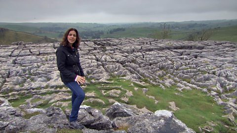
How have physical processes impacted the landscape of Yorkshire? video
Julia Bradbury explains the formation of Malham Cove including limestone pavement, highlighting the impact of glaciers on the landscape.
Glaciation and the UK coastline. video
Alice Roberts explains how Britain was once connected to Europe, but changed due to rising sea-levels following the Ice Age.
How has glaciation shaped the landforms of the Northern Hemisphere? video
Iain Stewart explains the glaciation of the Northern Hemisphere, focusing on the Yosemite Valley in California.
What evidence is there for climate change in the UK? video
Tom Heap considers the evidence that the UK climate might be changing - with more droughts, higher summer temperatures, but wetter winters.
Plate tectonics in the UK - Anglesey. video
Nick Crane explores the geology and seismology of Anglesey - earthquake hot spot of the UK.
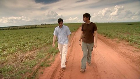
Deforestation and the growth of soya in Paraguay. video
Simon Reeves visits Paraguay to consider the deforestation that has occurred there to grow soy and the challenge of conservation vs development.