Main content
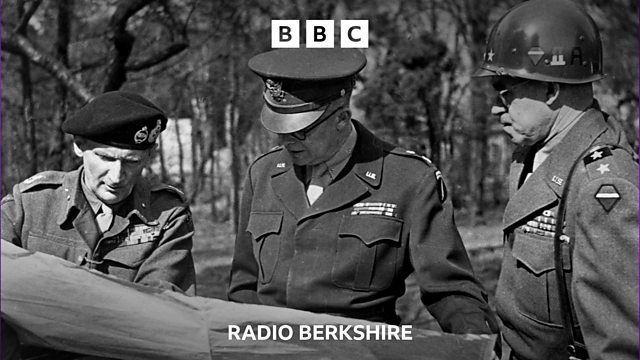
The map that won the War
How did a hand-drawn weather map dictate the Allied invasion of Nazi-occupied France on D-Day in June 1944?
Vernon Harwood visits the Royal Meteorological Society HQ in Reading to see the wartime chart which saved the Normandy Landings from disaster.
Photo: Getty Images